Orthomosaic Maps: Georeferenced aerial photos stitched together into a single, high-resolution, distortion-free 2D map view.
3D Models and Meshes: Textured surface models that render buildings, vehicles, and terrain in three dimensions from multiple angles.
3D Point Clouds: Dense data sets containing individual coordinate points of a site used for precise measurements.
Digital Elevation Models (DEM): Terrain data split into Digital Surface Models (DSMs), which include trees and structures, and Digital Terrain Models (DTMs), which show only bare ground elevation, including contour lines.
Packages starting at $1,000
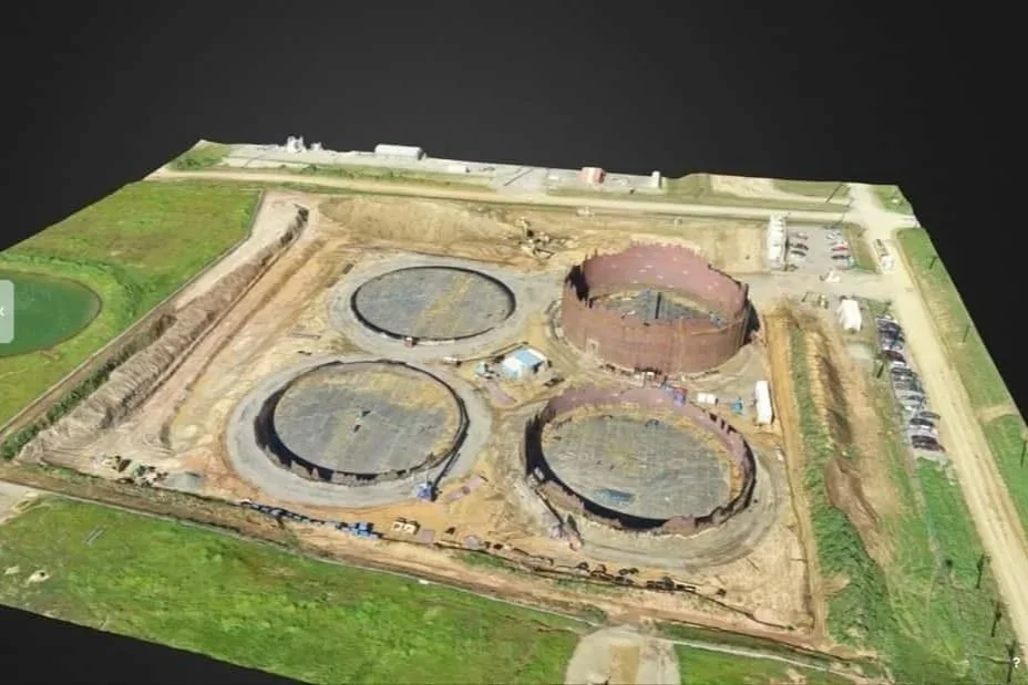 Image 1 of 6
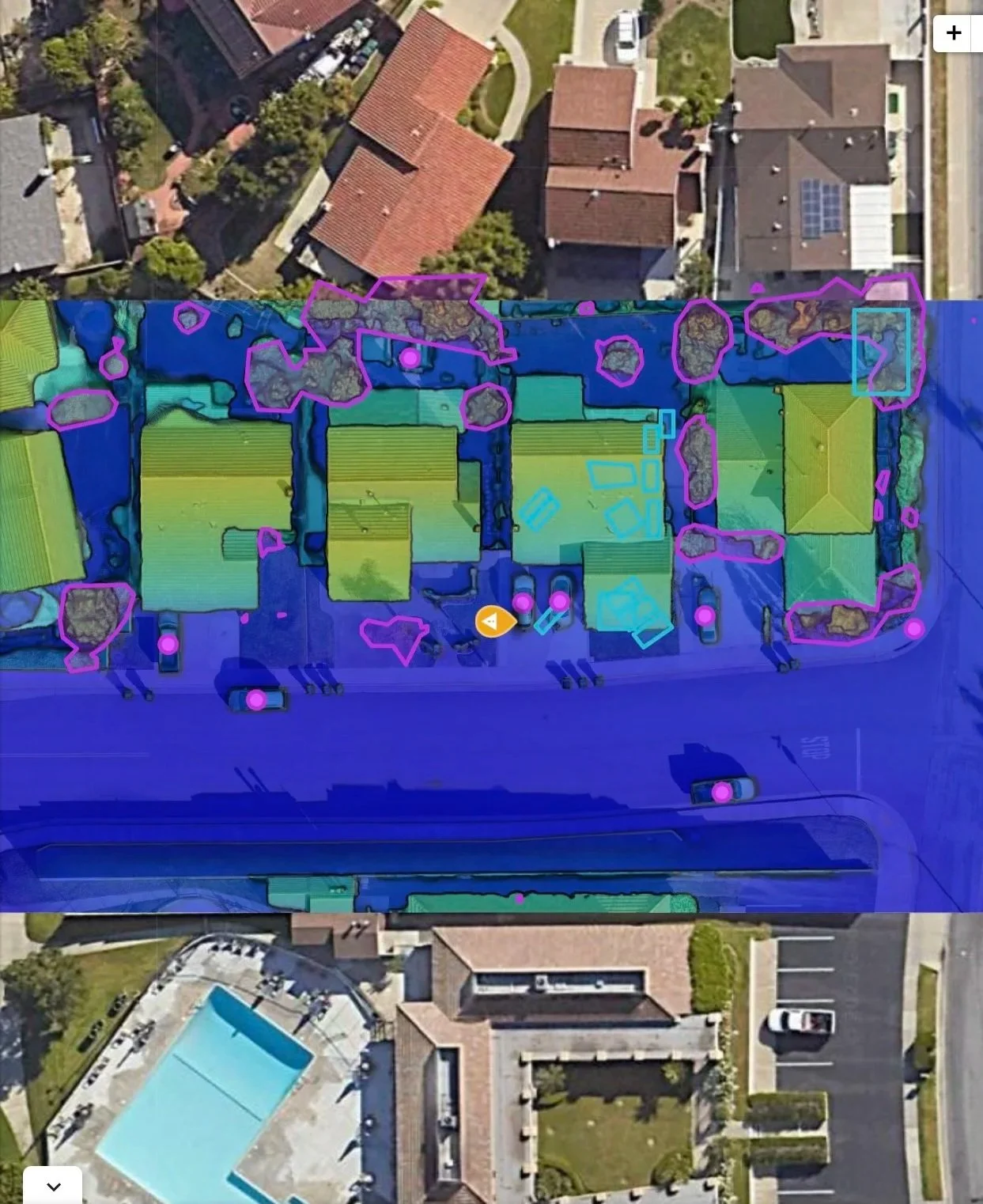 Image 2 of 6
 Image 3 of 6
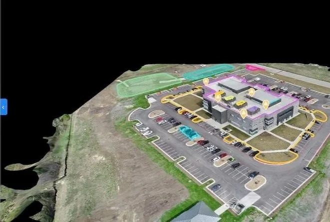 Image 4 of 6
 Image 5 of 6
 Image 6 of 6